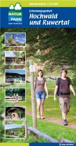
The hiking map of the Hochwald adventure region in the Hunsrück
Join us on the many virtual hikes in our holiday region, and be inspired by the reports and stories of the people who hiked it before you to come and experience our premium hiking region for yourself.
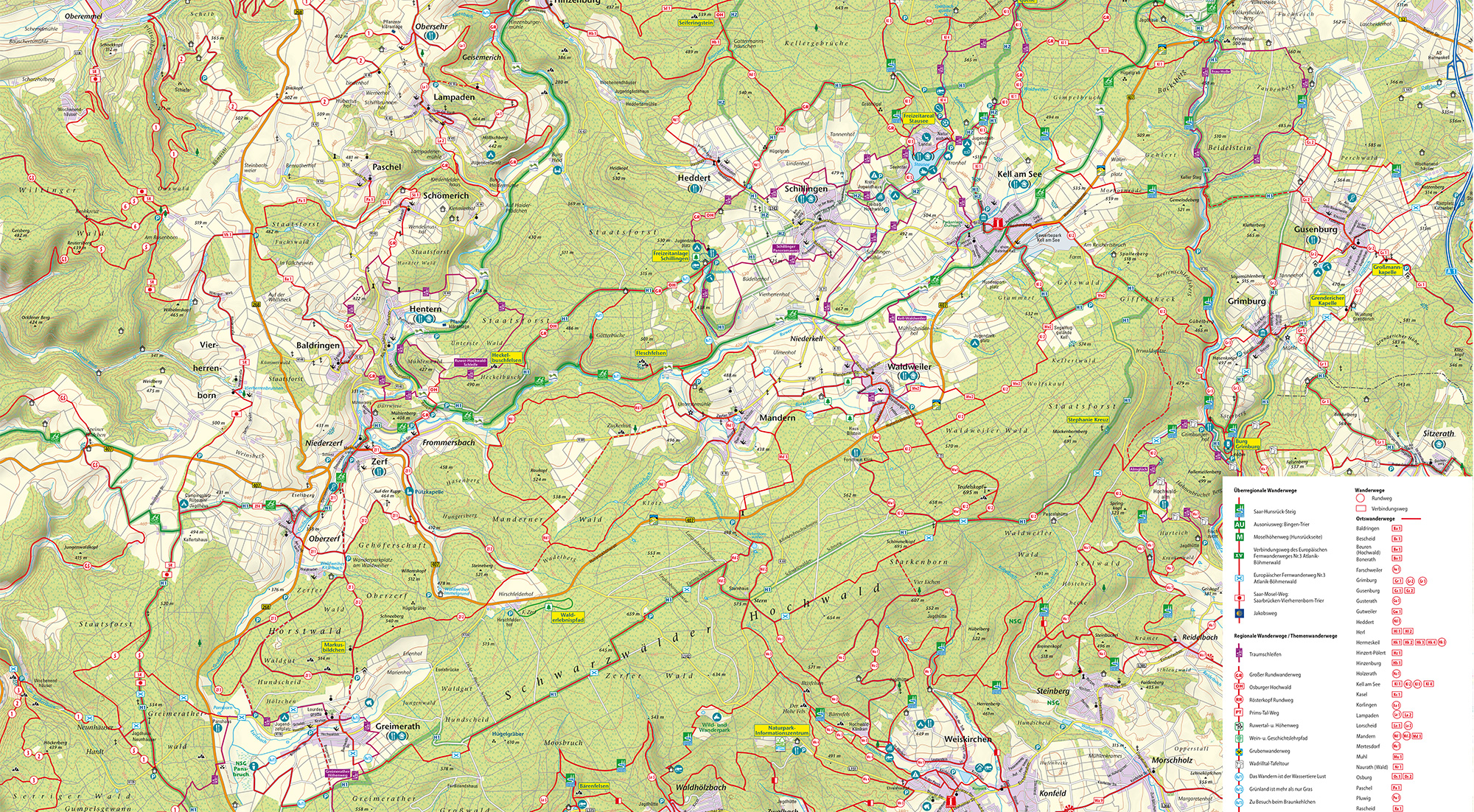
In addition to premium hiking trails and themed hikes, the Hochwald holiday region together with the neighbouring municipalities Hermeskeil and Ruwer has a network of 500 km of well-signposted conventional hiking trails. Countless circular and connecting hiking trails open up the entirety of the Ruwer Valley to the hiker, as well as large parts of the Rhineland-Pfalz high forest.
This network of trails is maintained and supervised by our full-time trail keeper, as are all the other hiking offers in our region. This network of trails is displayed in a 1:35000 scale hiking map which is available from the tourist information centre.